Where the wildfire smoke from Canada is blowing, and how dangerous it is
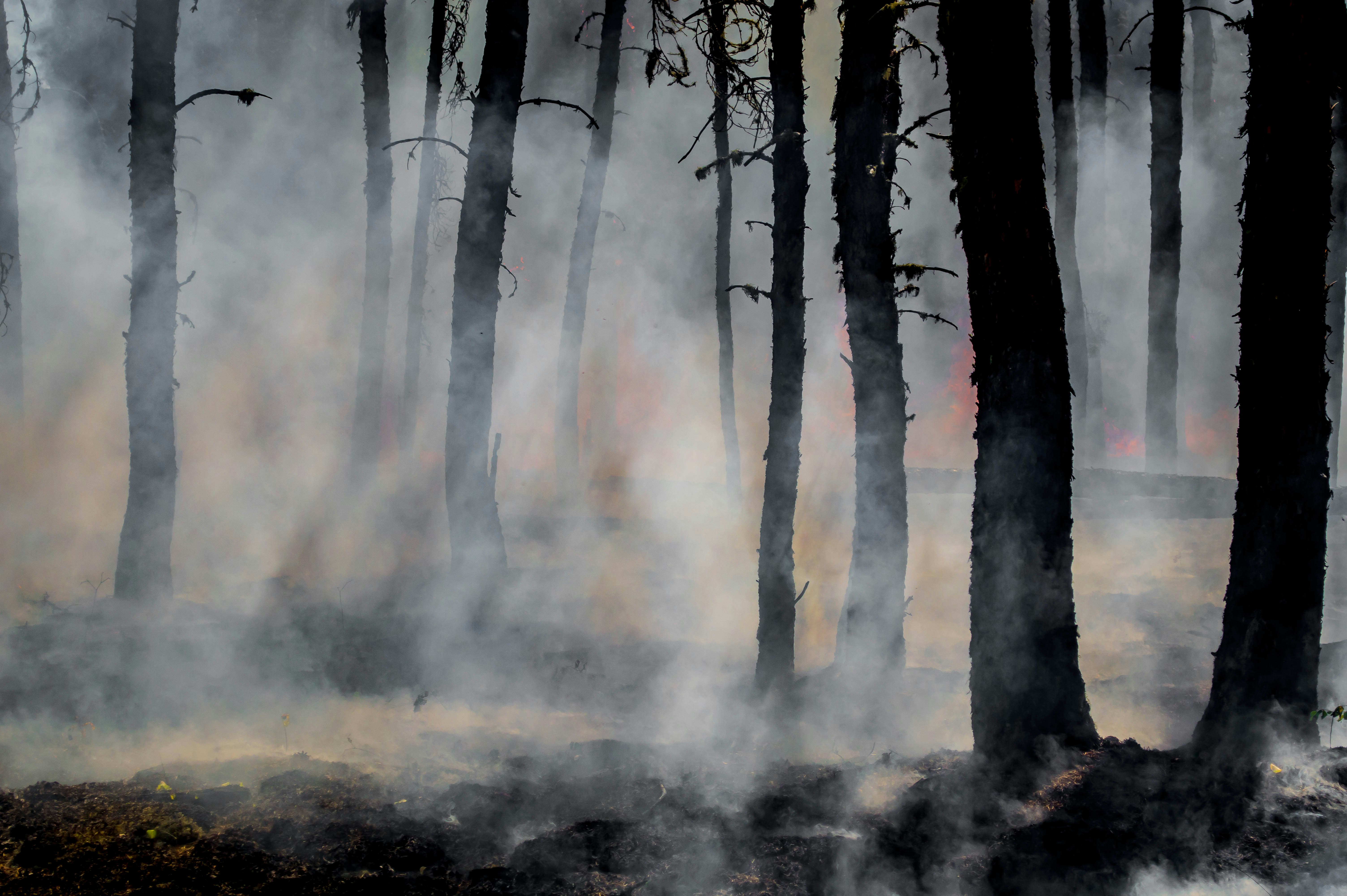
Summer wildfire smoke from Canada blanketed much of the U.S. in smoke, prompting health warnings and air quality alerts. I helped create an interactive map to show where the smoke was blowing and reported on how dangerous it was to breathe.
About this project
As air quality issues instensified this summer, the Data Graphics team decided to build an explainer and several interactive visual elements to help demonstrate poor air quality and health risks associated with wildfire smoke. I was responsible for writing the copy, interviewing experts and helping clean and source the data. This was a quick-turn story that required me to work fast and on deadline.